
Rajakaluve, Lake and Storm-Water Buffers on Bengaluru Land: How to Screen a Parcel Before You Pay a Token
How to screen Bengaluru land for rajakaluve, lake and storm-water buffers, flood and drainage before you pay a token, and what the Studio's Land intel checks.
DesiAcres Editorial · 18 November 2026 · 9 min read
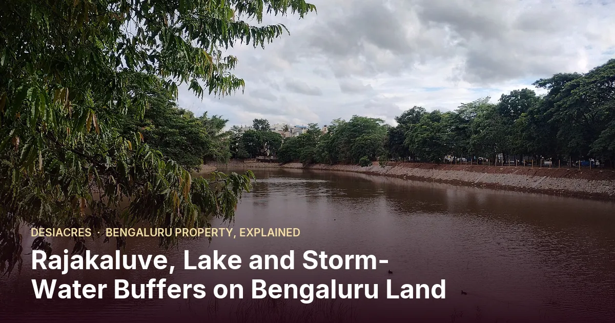
- Bengaluru's storm-water drains (rajakaluves) and lakes have buffers in which building is restricted. A parcel touching one can lose a large part of its buildable land.
- Buffer widths are commonly applied by drain order and for lakes, but they have been revisited by orders and courts. Always confirm the current order with the authority.
- Screen early: place the parcel on a map and measure distance to mapped drains and lakes before any token is paid.
- A map screening is a first filter, not a clearance. Not mapped does not mean not there. Confirm on the ground and with the authority.
Few things end a Bengaluru land deal faster than discovering, after the token, that a rajakaluve crosses the corner of the land or a lake's buffer covers a third of it. The papers can be perfect and the title clean, and the parcel still carries far less than the seller promised.
The good news is that this is one of the easiest problems to catch early. Drains and lakes are mapped. A few minutes with a map and the right questions will tell you whether a parcel needs a closer look. This guide explains the buffer logic as commonly applied, how to screen a parcel, what to check on the ground and how the Land intel desk in the Studio does the first pass.
What a rajakaluve is and why it matters
A rajakaluve is a primary storm-water drain, part of the network that carries rainwater across Bengaluru between lakes. Smaller drains feed into it. Much of the city's flooding in heavy rain traces back to drains that were narrowed, built over or blocked.
For a land buyer, three things follow.
- 1Building near a drain is restricted. A strip on either side is kept clear, called the buffer.
- 2The drain is public land. Where a drain crosses a parcel, that strip is not part of what the seller can sell, even if it sits inside a survey number.
- 3Low land near drains floods. Even outside the buffer, plots next to drains and lakes may sit in the path of water.
The buffer logic, as commonly applied
Rajakaluves are commonly classed by order of size: primary, secondary and tertiary. Buffers commonly applied are wider around bigger drains, and lakes have their own buffer. A frequently cited set of figures is a buffer of about 50 metres around primary drains, about 35 metres around secondary drains, about 25 metres around tertiary drains and about 75 metres around a lake. A buffer is measured from the edge of the drain or the lake, not from its centre.
Three cautions come with those numbers.
- They have been revisited by orders and in courts, and applied in different ways in different cases.
- They are commonly applied figures. Your parcel's case is decided on the authority's current rules and the actual mapping.
- The edge of a lake or drain is itself a question. Lake boundaries can be defined by revenue records, with water spread, tank bed and surrounding land treated differently.
So the right way to use any buffer number is as a screening rule. If the parcel is within the commonly cited distance, you need a closer look and an official answer. If it is well outside, the risk from this particular constraint is lower, though not nil.
Step by step: screening a parcel before you pay
1. Place the parcel precisely
Get the survey number and the boundary. A point is not enough. A parcel boundary lets you measure the distance from every edge, not just the centre. In the Development Studio, draw the boundary on satellite imagery or upload a boundary file.
2. Measure distance to mapped drains, lakes and other features
Check distance to:
- primary, secondary and tertiary rajakaluves and streams,
- lakes and their tank beds,
- canals,
- burial grounds, sewage treatment plants and waste sites,
- railway lines.
The first group is about building limits and flooding. The others are about use and resale. Our Land intel desk does this from the parcel's position using public map data: BBMP and BWSSB drain maps, via OpenCity, and AlphaDesk Maps from OpenStreetMap. It reports the distance to the nearest feature of each kind and where it comes from.
3. Compare distance with the buffer
If the nearest drain or lake is within the commonly applied buffer, work out how much of the parcel falls inside it, since that area may not be buildable. If it is far outside, note it and move on. If it is close or touching, treat it as a stop-and-ask.
4. Check the revenue and survey records
A drain or tank bed inside the parcel often shows up as kharab (uncultivable) or public-use land in the RTC, or in the village map and the survey sketch. Compare the extent you are being sold with the extent after removing such land. Our guide to reading an RTC shows where to look.
5. Walk the land in the rain, or ask someone who has
Flood risk is easier to see in a monsoon. Look for where water collects and where it leaves, silt and debris lines on walls and trees, and the level of the land against the road and the nearest drain. Ask neighbours and nearby shopkeepers about past flooding. If you cannot visit in the rain, look at the slope and the water paths. A site scan reads slopes and water paths from a LiDAR survey, or from public elevation at lower precision.
6. Ask the authority
For any parcel close to a drain or lake, ask the relevant authority for the current position on the buffer and the status of the drain or lake boundary at that location. A written reply or a surveyor's report fixes the question. An advocate can tell you what to ask and from whom.
What to do when the parcel is near a buffer
- Quantify first. How many square metres of the parcel lie inside the buffer, and where? Redo the layout without that area to see what is left.
- Reprice. The land is worth less if the buildable area is smaller. Do not accept a price set on the full survey extent.
- Check what can go in the buffer. Some uses, such as a green belt or road, may be treated differently from buildings. Do not assume. Ask.
- Look at the drain itself. Is the drain narrow or blocked here? Is it being widened? Works by the authority can change the picture.
- Keep a record. Note the date, the map source and the answer you received.
Flood and drainage beyond the buffer
Land can flood without being inside a buffer.
- Low-lying land near valleys and lakes can collect water.
- Fill and levels. A parcel below the road level needs drainage that does not push water onto neighbours.
- Downstream effect. Hard surfaces from your project increase run-off. Plan drainage for it.
- Outfall. Where does your storm water go? A project needs a legal and workable outfall.
Our guide to buying near a lake covers buyers' checks for flats. For developers the same questions become design inputs: levels, drains, sumps and outfalls.
How the Studio's Land intel screens this
The Land intel desk inside the Development Studio treats drains and lakes as part of the eighty-check land review described in Land Intelligence for developers.
- It reads the distance from your parcel to the nearest mapped rajakaluve or stream, lake, burial ground, sewage plant, waste site and railway, with the source of each.
- It marks the checks that depend on those distances, so the screening result sits beside your document checks.
- It lets you add a note and a date to each check, so the follow-up with the authority is recorded.
- It keeps the screening as a first filter. It does not claim a clearance, and it says plainly that not mapped does not mean not there.
For a wider location screening of a single property, including village, flood and access, see GeoVerify.
Common mistakes with drains and lakes
- Measuring from the wrong place. Distance from the parcel's centre can hide a corner that touches a drain. Measure from the boundary.
- Trusting the seller's survey number alone. A drain or tank bed may be inside it, recorded as public-use land.
- Reading one map. Official drain maps and open map data can differ. Look at both and at the satellite image.
- Visiting only in the dry season. Water paths and low spots show up in the rain.
- Pricing on the full extent. If part of the land is restricted, the price should follow the usable area.
- Skipping the written answer. A verbal assurance about a buffer is not a record.
A short checklist before you pay a token
- 1The parcel boundary is drawn on a map, with the survey number and extent.
- 2Distance to every mapped drain, lake and canal is measured.
- 3Anything inside the commonly applied buffer has been quantified.
- 4The RTC and survey sketch have been checked for kharab and public-use land.
- 5The land has been seen, ideally in the rain, and neighbours asked.
- 6The authority's current position on buffers has been asked for, in writing.
- 7The layout and the price have been rerun without any restricted area.
Frequently Asked Questions
What is a rajakaluve buffer in Bengaluru?
It is a strip on either side of a storm-water drain in which building is restricted. The width commonly applied is larger for bigger drains. The exact rule that applies to your parcel should be confirmed with the authority.
How far from a lake can I build?
A lake buffer is commonly cited at about 75 metres, but the figure has been revisited and may be applied differently. Confirm the current rule and the lake's boundary with the authority before you rely on any number.
Is a map screening enough?
No. A map screening is a quick first filter and can show close features. It cannot confirm what is missing from the map, nor the authority's decision for your parcel. Use it to decide whether to look further, and confirm on the ground and officially.
Can I still buy land that is partly in a buffer?
It can be possible to buy such land, but the part in the buffer may not be buildable. Work out the usable area, reprice accordingly and take legal advice on what can and cannot be done in the buffer.
Talk to the land desk
If a parcel you are considering is near a drain or lake and you want it screened and the follow-up tracked, our land desk can help. WhatsApp +91 79756 19031 or call +91 94296 93951, or write through the developer page.
- DesiAcres, Buying near a lake in Bangalore (desiacres.com)
- DesiAcres, GeoVerify (desiacres.com)
- BBMP and BWSSB drain maps via OpenCity (opencity.in)
Written by DesiAcres Editorial at DesiAcres Advisory Group, a Bengaluru buyer-side property advisory. General information, not legal or investment advice.
Run it through the free 15-point check, price vs comparables, red flags and a clear verdict.
Check a property →