
Buying a Flat or Plot Near a Lake in Bangalore: Buffer Zones, Floods and 12 Checks
Lake views sell flats, but lakes and drains also flood. The buffer rules, the signs of flood risk and 12 checks to make before you buy near water in Bengaluru.
DesiAcres Editorial · 17 November 2026 · 8 min read
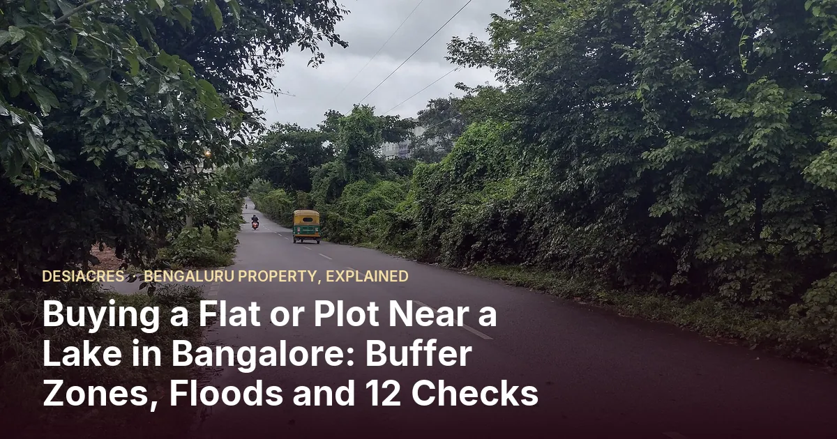
- A lake view adds value and risk. The same water that makes a view can flood the road, the basement or the ground floor.
- The National Green Tribunal's 2016 order set no-construction buffers around lakes and storm drains in Bengaluru. How these rules apply to a particular site depends on the site and later orders, so verify it.
- The best flood evidence is the area's history: ask neighbours, look at the monsoon months and check the road, not just the building.
- Check the lake's own condition too: sewage inflow, froth, smell and mosquitoes decide how pleasant the view is.
In Bengaluru, a lake view is a premium feature. Builders photograph the water at sunset, brokers say "lakefront", and the price per square foot reflects it. After the flooding in recent monsoons, many buyers now ask the opposite question: is it safe?
Both questions are right. This guide explains the rules that limit building near water, the signs of flood and pollution risk, and a checklist you can use before you pay.
Why Bengaluru floods in the first place
Bengaluru sits on a ridge with valleys running off it, and in the past a chain of lakes, called tanks, caught and passed on the water. Over decades, many of the links between tanks were built over and some tank beds were reclaimed. When heavy rain falls, the water still looks for its old path. If that path has a road, a layout or a building on it, the water comes in.
The lesson for a buyer is that flood risk is mostly about the path of the water, not the distance from a lake. A flat far from any lake can sit on a drain, and a flat beside a well-maintained lake on higher ground can be safe.
The buffer rules
Two layers of rules matter: the state's planning rules and the tribunal's directions.
- The state's town planning rules set a no-development buffer around lakes and a smaller one around drains.
- In May 2016, the National Green Tribunal, in a case about Bellandur and Agara lakes, directed larger buffers in Bengaluru: 75 metres around lakes and graded buffers for storm water drains, known locally as rajakaluves. The drain buffers were 50 metres for primary, 35 metres for secondary and 25 metres for tertiary drains, measured from the edge of the drain.
- The state and landowners challenged the buffer increase in court, and later orders and notifications have touched the question. The exact distance that applies to a given property can depend on the date of approval and on the latest order.
Why the buffer matters to you
Buffer rules are about more than law. A building inside a buffer may face notices or demolition risk, and a bank may refuse a loan. Even a building that is legally outside the buffer can still be in the path of flood water. So the buffer is a minimum, not a guarantee of safety.
Twelve checks before you buy near water
- 1Find the nearest lake and the nearest drain. Use GeoVerify to see the distance from your pin to the closest lake, stream or storm drain.
- 2Look at the history. Ask neighbours, the security guard and the local shopkeeper which monsoon months flooded the road or the compound.
- 3Walk the access road in the rains if you can. A tower that stays dry on a road that goes under water is not a safe home.
- 4Check the ground level. Compare the plot with the road and the drain. A site lower than the road gathers water.
- 5Look at the basement and the ground floor. Parking basements flood first. Ask about pumps, sumps and where the discharge goes.
- 6Ask which floor. First-floor and above are safe from most street flooding but not from a power cut that stops the lifts and pumps.
- 7Read the approved plan and the survey sketch. Look for the drain and lake boundaries marked on it.
- 8Check the lake's health. Froth, a sewage smell, dead fish, hyacinth and mosquitoes tell you more than a brochure photograph.
- 9Look for new inflows. A drain carrying sewage into a lake is a long-term problem for smell and water quality.
- 10Ask about the drainage of the layout. A well-built layout has storm drains that lead somewhere. A blocked or missing drain floods the road.
- 11Check what the authority says. Zone and ward matter, because different authorities handle drains and lakes. Use the Zones and wards lookup.
- 12Check the insurance and the loan. Ask whether the lender or an insurer has any condition on a flood-prone area.
Signs a site may have flood risk
- The land is lower than the nearby road and the neighbours.
- There are drain culverts or channels near the site that are narrow, blocked or filled with waste.
- A road with water marks on walls, or a compound wall with a high waterline.
- A lot of fresh fill soil on the plot, which may hide the original ground level.
- Residents mention a pump, a boat or a "water in the lane" story.
- A neighbourhood with several recent complaints in local news.
What the lake itself adds, and takes away
The good
Open water and trees cool the air, reduce noise and give a view that lifts mood. Lakes that are well kept have walkers, birds and good property values around them.
The not so good
Some lakes receive sewage and industrial water. They may foam, smell in summer and breed mosquitoes. The view does not help if you cannot keep your windows open.
Go in the morning and in the evening, and in the dry and the wet months if you can. A lake that looks lovely at noon in January can be a different place in May.
Flat or plot: how the risk differs
For a flat, the risk is in the building's lower floors, the basement and the approach road. A good drainage design and a tall plinth can reduce risk. Ask about it.
For a plot, the risk is in the land itself. You can raise the plinth, but you cannot change the land's position in the water path. Check the plot against the contours, and read our guide to plot approval and title checks before you pay anything.
How to use the data we have
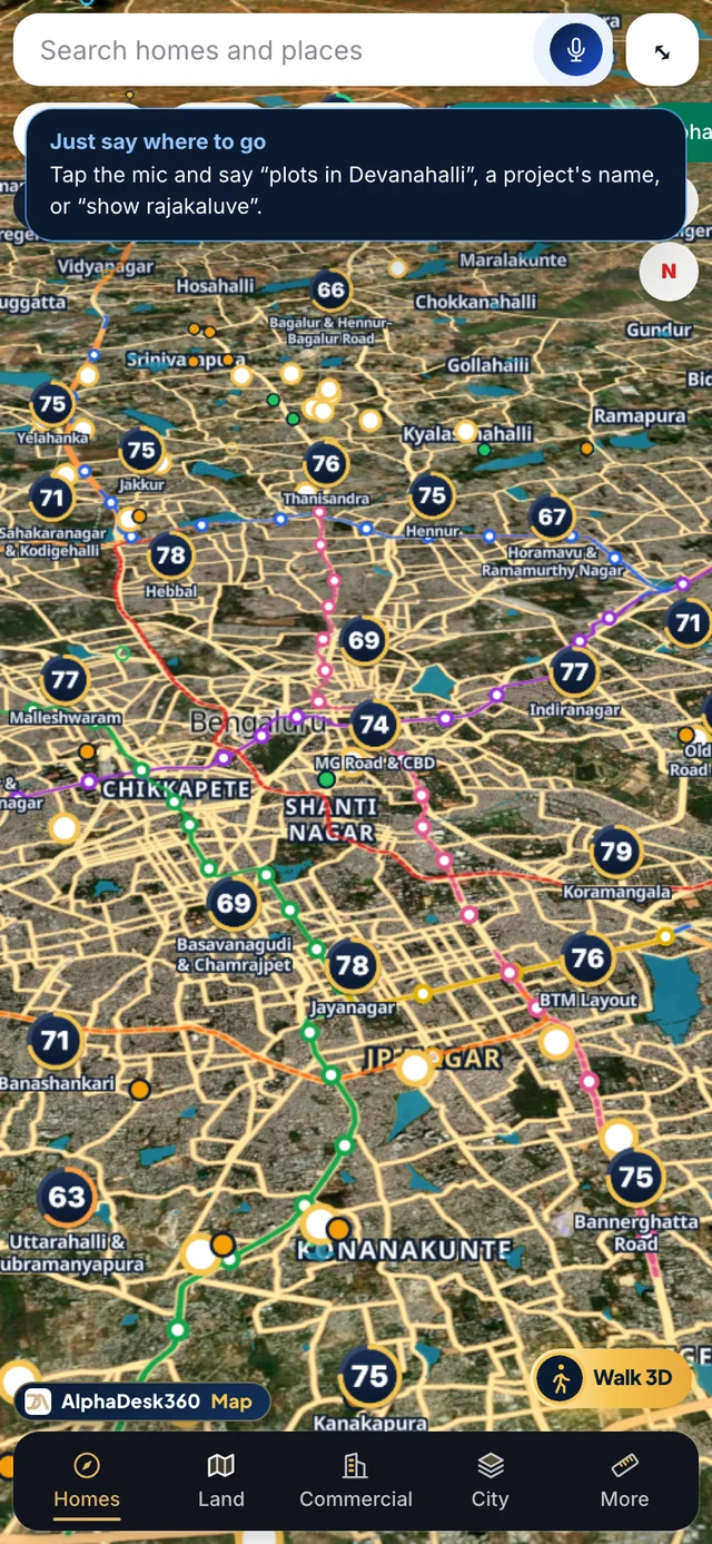
GeoVerify screens a location against open data: lakes, storm drains, flood history where mapped, burial grounds, sewage plants, waste sites and railways. The result is a screening, not a legal clearance. If a finding is flagged, take it as a reason to ask questions on site, and bring in a surveyor or lawyer before you pay. The AlphaScore includes a score for the surroundings, so you can see how the land around a project affects its rating.
You can also see lakes and drains on the 3D map in DesiPropVERSE.
Questions for the builder or seller
- Is the project inside any lake or drain buffer under the current rules? Show me the measurement.
- Has the site flooded in the past ten years?
- Where does the storm water from the project go?
- What are the basement flood protections and the pump backup?
- Is there any pending notice from the lake authority or the city?
If the answers are vague, treat that as information.
Frequently Asked Questions
What is the buffer zone around lakes in Bangalore?
The state's planning rules set a smaller buffer, and the National Green Tribunal's 2016 order directed 75 metres around lakes and graded buffers around storm drains. How this applies to a given site depends on later orders and on when the project was approved, so confirm it with a surveyor or lawyer.
Is it safe to buy a flat near a lake in Bangalore?
It can be, if the site is on higher ground, outside the buffer, with good drainage and a dry access road. A lake view alone says nothing about flood or pollution risk, so check the history and the approach road.
How do I find out if an area floods?
Ask residents, look at the road during heavy rain, and use a screening tool such as GeoVerify to see distance to lakes and drains. Local news in the monsoon months also helps.
What is a rajakaluve?
A rajakaluve is a primary, secondary or tertiary storm water drain in Bengaluru that carries rain water between lakes and out of the city. Building on or too close to one is a major risk.
Will a bank give a loan near a lake?
Often yes, if the property has valid approvals and is outside restricted zones. Lenders can refuse where the building falls inside a buffer, so check before you pay a booking amount.
- National Green Tribunal order on lake buffers, Karnataka, 2016 (indiaenvironmentportal.org.in)
- Karnataka State Natural Disaster Monitoring Centre (ksndmc.org)
Written by DesiAcres Editorial at DesiAcres Advisory Group, a Bengaluru buyer-side property advisory. General information, not legal or investment advice.
Run it through the free 15-point check, price vs comparables, red flags and a clear verdict.
Check a property →