
Land Due Diligence in Bengaluru: The 80-Point Check Developers Run Before They Sign
The order, the papers and the red flags in a Bengaluru land due diligence: RTC, mutation, survey number, EC, khata, conversion, PTCL and joint development readiness.
DesiAcres Editorial · 18 November 2026 · 12 min read
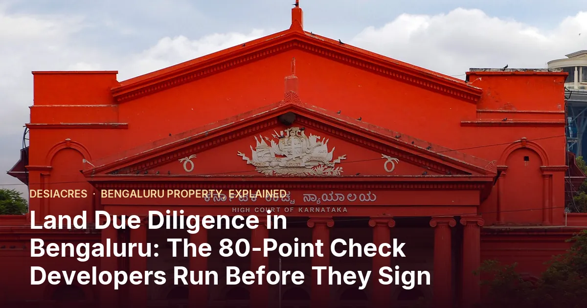
- A land deal fails on one paper nobody opened. A due diligence is a fixed list, run in a fixed order, so nothing is skipped because the seller is friendly.
- Eighty checks fall into eight groups: survey and boundaries, records of rights, title and ownership, encumbrance and litigation, land use and conversion, khata and approvals, location and risk, and deal readiness.
- Do the cheap, fast checks first (survey number, RTC, map screening). Spend legal fees only on parcels that survive them.
- This is guidance, not legal advice. Every title opinion should come from a licensed advocate who has seen the original papers.
A developer who buys or signs a joint development on a Bengaluru parcel is not buying land. They are buying a chain of papers that must hold up for the next ten years, through approvals, bank funding, RERA registration and a hundred buyers' lawyers. If one link is weak, it does not stay a land problem. It becomes a sanction problem, a funding problem and finally a delivery problem.
This guide sets out how a careful developer or landowner's advisor structures a land due diligence in Bengaluru and the surrounding districts: what the eighty checks are for, which come first, and what a red flag looks like. It is the same structure we use in the Land intel desk inside the Development Studio, described in full at Land Intelligence for developers.
Why a fixed checklist beats a good feeling
Most bad land deals are not frauds. They are gaps: a survey number that has been split and the new numbers never reflected, an RTC still in a deceased grandfather's name, a khata that does not match the sale deed, a tank bed that the revenue map marks and the seller does not mention. Each one is findable. They are missed because someone assumed the last person had checked.
A fixed list does three things.
- It removes the "we know this family" shortcut. Every parcel gets the same questions.
- It creates a record. When a bank or a co-developer asks what was checked, you can show it, with dates and who did it.
- It sets the order. Cheap checks that can kill a deal early come before expensive ones that cannot.
The eight groups of checks
The eighty checks are not eighty equal tasks. They fall into eight groups, and each group answers one question.
1. Survey and boundaries: is this the land you think it is?
Before any paper is read, confirm the parcel. The questions are simple and the failures are common.
- The survey number and hissa (sub-division) quoted by the seller match the number in the RTC, the sale deed and the khata.
- The extent in acres and guntas matches across papers, and matches what you measure on a map.
- The boundaries described in the deed (four sides) match what you see on the ground and on satellite imagery.
- The village, hobli and taluk are the same on every paper.
Survey numbers in Karnataka are often subdivided into hissas, and old papers may mention a number that no longer exists in its original form. If the extents of the hissas you are being offered do not add up to what you are measuring, stop and find out why.
2. Records of rights: what does the government record say today?
Records of Rights, Tenancy and Crops, known as the RTC or Pahani, is the working record of who holds the land, in what extent, what is grown, and what liabilities are noted. The mutation register records changes in ownership. Together with the Akarbandh (the summary of survey numbers and extents in a village) they tell you whether the seller's story matches the state's.
The questions here are about currency and consistency: does the RTC show the seller's name, for the full extent, for recent years? Does the mutation history explain every change of name? Is the nature of land shown as you expect? Our guide to reading an RTC and mutation register goes column by column.
3. Title and ownership: how did it reach the seller?
Land is rarely bought once. It passes by sale, partition, gift, will, inheritance and sometimes grant. A clean chain is every link accounted for, going back far enough for your advocate to be comfortable.
- A registered sale deed or other registered instrument for each transfer, with consideration and stamp duty paid.
- For inherited land, a legal heir certificate or equivalent proof that all heirs are accounted for, and a registered partition or release deed where heirs have divided it.
- For land under a will, proof of the will's validity and that probate or other steps required have been considered.
- Where a minor, a person under disability or a company holds a share, the permissions needed to deal with it.
- Powers of attorney traced to their grant and confirmed not revoked.
The common trap is a missing heir. A parcel sold by three of four siblings will be challenged by the fourth, sometimes years later, usually after the project is selling.
4. Encumbrance and litigation: does anyone else have a claim?
The encumbrance certificate (EC), issued from the registration records, lists registered transactions affecting a property over a period. It shows mortgages, sales, gifts and some agreements. It does not show unregistered claims, court cases or tenancy rights, which is why this group has more checks than the EC alone.
- An EC for a long enough period, taken fresh, and matched against the chain.
- Searches for pending litigation in the courts and tribunals relevant to the parcel and the seller, and any caveat or lis pendens.
- Checks for mortgages, bank charges and attachments, and for any existing agreement to sell or joint development.
- Revenue court and tahsildar-level disputes, including mutation disputes.
- Public notices published about the property.
5. Land use and conversion: can it be used for what you plan?
Agricultural land cannot simply be built on. Its use must be changed through the process the law then provides, and the records must show it. Rules here have been amended more than once, so the right step depends on the parcel and the date. Your advocate and the planning authority must confirm the current position.
- The nature of land in the RTC (agricultural, converted, non-agricultural).
- Conversion order or deemed-conversion status, its date, and whether the conditions were met.
- Whether the land was ever granted, and if so whether the grant conditions and any transfer restrictions apply. Karnataka has a specific law protecting certain granted lands (the PTCL Act, covering lands granted to members of Scheduled Castes and Scheduled Tribes), and a transfer in breach can be set aside. This is an area where an advocate's opinion is essential.
- Tenancy and Land Reforms history, and whether any tenant has a recorded or claimable right.
- Kharab land (uncultivable land) shown inside the survey number, including land recorded as public use such as a tank bed, path or road, which cannot be built on and changes the usable area.
- Any acquisition notices, including for roads or infrastructure.
6. Khata, tax and approvals: will the authority sanction what you want?
A clean title does not guarantee a sanction. Planning checks are about whether the parcel can carry your project.
- The master plan zoning for the parcel and whether your use is permitted in it.
- The authority that sanctions plans for the parcel (the local body, development authority or regional authority) and its current rules on floor area ratio, setbacks, height and road width.
- The width of the road the plot fronts, and whether it is a recorded public road. Road width controls what can be built.
- Any reservations, proposed roads, transmission line corridors or other restrictions mapped over the parcel.
- Whether a project of your size needs RERA registration and environmental clearance, and what those need from the land.
7. Location, environment and risk: what is physically there?
Papers say what should be there. The ground says what is. This group is where map data earns its keep.
- Rajakaluve (storm-water drain), stream, lake and canal proximity, and the buffers the authority applies around them. See our guide to drain and lake buffers.
- Burial grounds, sewage treatment plants, waste sites and railway lines near the boundary.
- Slope and water paths across the parcel, trees and existing structures. A site scan in the Studio reads these from a LiDAR survey or from public elevation.
- Access: a legally recorded way to the parcel, not just a track across a neighbour's field.
- Encroachment, occupants, and anyone cultivating or living on the land.
- Flood history reported by locals and by public sources.
8. Deal and execution readiness: is the deal itself sound?
The last group checks the transaction rather than the land.
- Every owner is a party, and every signatory has authority.
- Payment structure, escrow and release conditions tied to milestones.
- For a joint development, the area or revenue split, timelines, penalties for delay and what happens if approvals fail. See our guide to joint development agreements.
- Stamp duty and registration costs worked out for the real structure.
- Tax treatment reviewed by a chartered accountant.
- Exit options if the deal collapses.
The order that saves time and money
The mistake is to start with a title search. A title search by an advocate takes weeks and costs real money. Most parcels that will fail can be failed in a day by cheaper checks.
- 1Identity first. Match the survey number, hissa and extent across the seller's papers and the map. Ten minutes, and it kills a surprising number of deals.
- 2Map screening second. Place the parcel on a map and screen it for drains, lakes, burial grounds, railways and road frontage. This is the part software can do automatically, and the Land intel desk does.
- 3RTC and mutation third. Pull the current records and read them for name, extent, nature of land and liabilities.
- 4EC and basic litigation fourth. A fresh EC and a first search for cases.
- 5Chain of title fifth. Only now commission the full legal title review, on a parcel that has passed the first four.
- 6Planning and status sixth, in parallel with the title review, since a conversion or zoning issue can also kill the deal.
- 7Deal readiness last, once you know the land is sound and the terms can be written around real facts.
Red flags that should stop you
- The seller will not share the original papers, only photocopies, or says an original is "with the bank" with no proof.
- Names, extents or survey numbers differ across the RTC, the deed and the khata and no one can explain the difference.
- The RTC shows a different person or a long list of names.
- An old power of attorney is used for a sale decades later.
- A sale by some, not all, of the legal heirs.
- A price far below the area rate with a story about urgency.
- A "settlement" with a tenant or an occupant that exists only by word of mouth.
- Land recorded as public use inside the survey number.
- Pressure to pay a large token before any paper has been seen.
What software can and cannot do
Software is good at the repeatable parts. It can place a parcel on a map and measure its area, then compare that with the extent a seller quotes. It can measure distances to mapped drains, lakes, burial grounds and railways. It can keep the eighty checks, their status, the date and the notes in one place so a team and a landowner see the same thing.
It cannot read a government database for you without the right access, and it cannot give a legal opinion. In the Land intel desk we are explicit about the split:
- Screened automatically from map data: drains, lakes, burial grounds, sewage plants, waste sites, railways, road frontage, and the gap between the extent you enter and the area measured on the map.
- Tracked by you or by our land desk: every document check. You mark each check as not started, collected, verified or an issue, add the note and the date, and the desk shows a readiness score and the open red flags.
- Done by an advocate: the title opinion.
The tracker is only as good as the entries in it. Its value is that nothing is forgotten and nothing is hidden.
Using the Studio for the first pass
Open the Development Studio, draw or upload the boundary, and look at Land intel. Enter the survey numbers and extents you have been offered. The map screening runs from the parcel's position, and the extent comparison tells you at once whether the papers and the ground agree. Then work through the document checks in the order above. When a parcel passes, carry the same record into layout, deal and approvals so the land facts sit beside the design.
For the full list of checks and how each is scored, see Land Intelligence for developers.
Frequently Asked Questions
What is land due diligence in Bengaluru?
It is a structured review of a parcel before you buy it or sign a joint development: the records, the chain of title, encumbrances and litigation, land status and conversion, planning, the physical site and the deal terms. Its aim is to find the weak link before money is committed.
How long does it take?
Identity, map screening and a first look at the RTC and EC can be done in days. A full legal title review by an advocate usually takes weeks, depending on how complete the papers are and how many owners and transfers are involved.
Is an encumbrance certificate enough to prove clear title?
No. An EC lists registered transactions over the period it covers. It does not show unregistered claims, court cases, tenancy or whether the seller's chain of title is complete. It is one check among many.
Do you give a legal opinion?
No. Our tools and land desk organise and screen the checks and flag what needs attention. A legal opinion on title must come from a licensed advocate.
Talk to the land desk
If you hold or are considering a parcel and want it screened properly, our land desk can help set up the checklist, run the map screening and coordinate with your advocate. WhatsApp +91 79756 19031 or call +91 94296 93951, or use the form on the developer page.
- DesiAcres, Land verification in Bangalore (desiacres.com)
- Bhoomi, Government of Karnataka (landrecords.karnataka.gov.in)
- Kaveri, Department of Stamps and Registration (kaverionline.karnataka.gov.in)
Written by DesiAcres Editorial at DesiAcres Advisory Group, a Bengaluru buyer-side property advisory. General information, not legal or investment advice.
Run it through the free 15-point check, price vs comparables, red flags and a clear verdict.
Check a property →