
The Documents Agree With Each Other. Do They Agree With the Site?
A folder of papers can still miss the point. Reconcile village, survey number, extent, boundaries and access across the deed, RTC, EC and the ground.
DesiAcres Editorial · 19 November 2026 · 7 min read
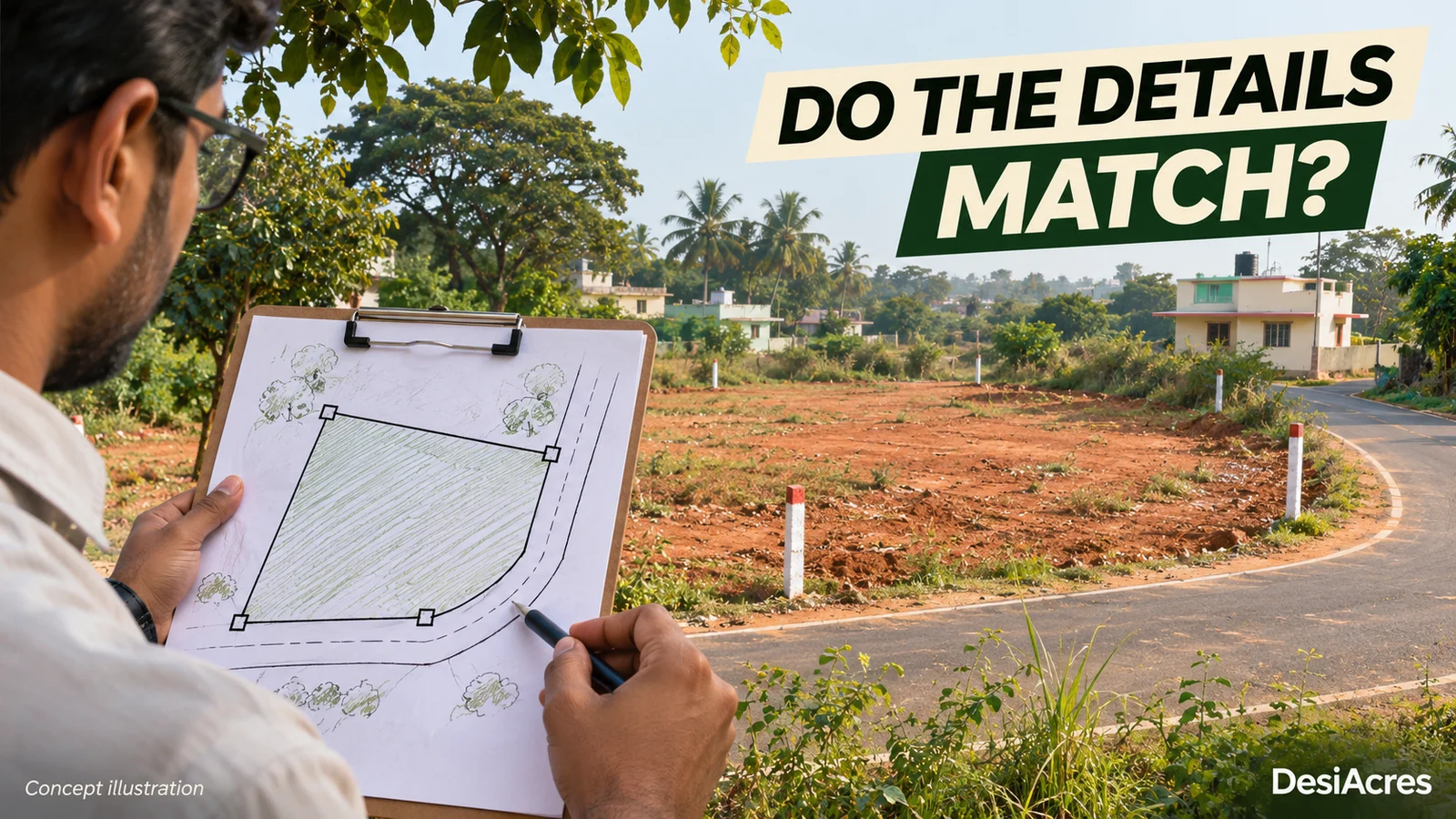
- A complete folder is not a verified property. The question is whether every document describes the same land and the same rights.
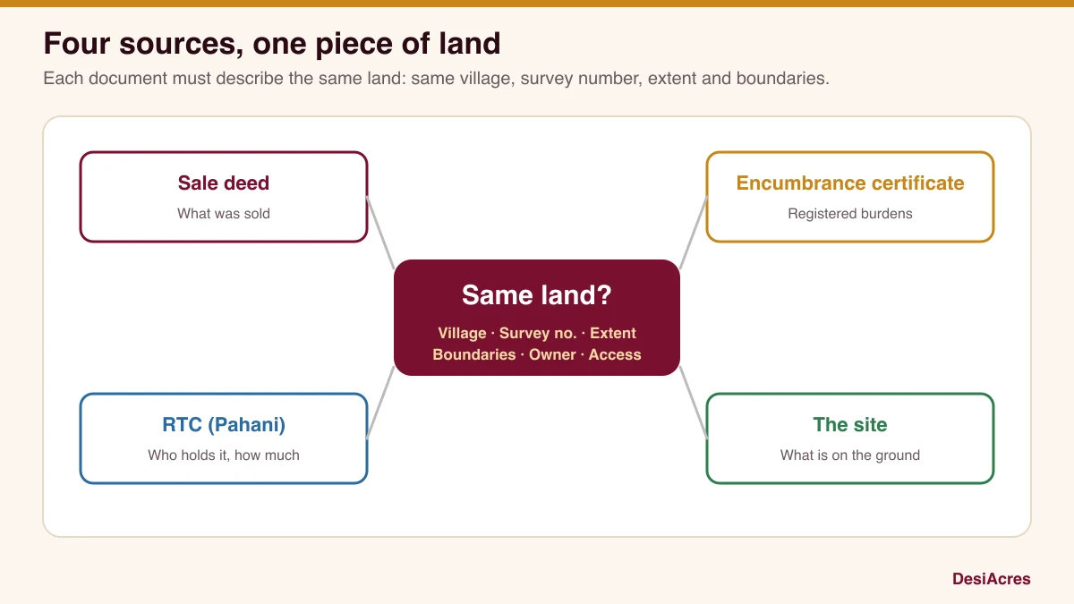
- Build one identity for the land: village, survey number and hissa, extent, boundaries, owner. Check it in every document and on the ground.
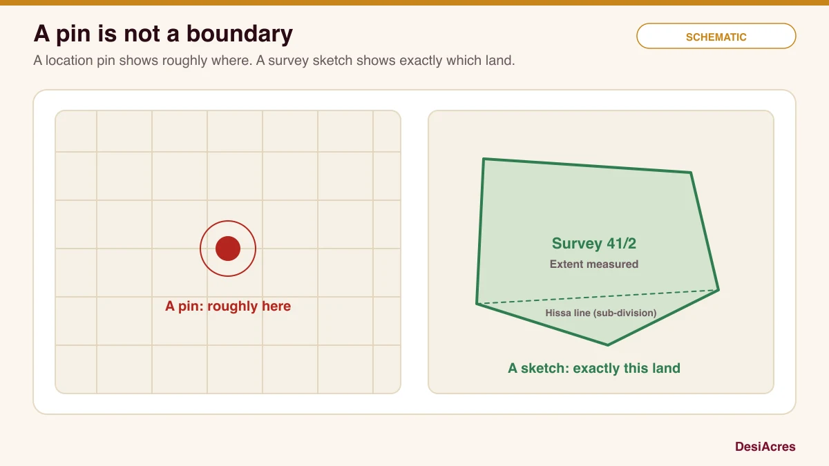
- A location pin cannot show a survey boundary. Only a measured survey can say which land is which.
- Keep an unresolved-issues register and clear it before payment. Your advocate and a licensed surveyor each have a part.
A folder can contain many documents and still leave the central question unanswered. Do these papers identify the land and rights you are actually being offered, and does that land exist where the seller says it does?
This guide shows how to line up the main records against each other and against the site. It is a method for organising your checking, not a legal opinion. Title and rights need an advocate, and boundaries need a licensed surveyor. If you are buying a flat, also read our resale documents checklist.
Define what is being sold
Write one sentence before you open any document. "A residential plot of about this extent in this village, with this survey number, accessed from this road." If the seller's description differs from yours, find out why. The same piece of land can be described very differently in a sale advertisement, a deed and a revenue record.
What each record tells you
Each document answers a different question. None answers all of them.
| Document | What it records | What it does not prove |
|---|---|---|
| Sale deed | A transfer between named parties, with a description of the property | That the seller had good title, or that the description matches the ground |
| RTC (Pahani) | The holder of the land as per revenue records, its extent, crops and land type | Ownership in the sense of title; it is a record of who is in the revenue books |
| Mutation extract | A change of name in the revenue record after a transaction | That the transaction itself was valid |
| Encumbrance certificate (EC) | Registered transactions and charges over a period | Unregistered claims, family disputes or court cases |
| Survey sketch | The measured shape and extent of a survey number | Rights or conversion status |
| Conversion and approvals | Whether land was permitted for non-agricultural use | That the layout or building plan is sanctioned |
Karnataka publishes land records through the Bhoomi system, and registration and encumbrance information through the Kaveri portal. The government describes Bhoomi as its land-record management system, including changes to the RTC through mutation. Treat each record as one piece of evidence and never as conclusive proof of title.
Build one identity for the land
Create a table with one row for each detail and one column for each source. Fill in what each document says, word for word.
| Field | Sale deed | Revenue record | Site evidence | What to do |
|---|---|---|---|---|
| Village and hobli | As written | As written | Where you stand | Resolve any difference |
| Survey number and hissa | As written | As written | Boundary markers | Confirm with a surveyor |
| Extent | As written | As written | A measurement | Explain any gap |
| Boundaries (four sides) | As written | Not always given | What touches each side | Walk each edge |
| Owner's name | As written | As written | Who shows you the land | Ask for ID and spelling |
| Access | Deed description | Related records | The actual approach | Confirm the right |
This is a synthetic example of the layout. Use your own data. Every blank or mismatch is an item for your register.
Look for changes over time
Records are a story. Read them in order.
- Has the extent changed between the older and the newer RTC? Why?
- Was the land divided, merged or partly sold? Was the sub-division recorded?
- Has the name changed several times in a short period, and do the mutation entries match the sale deeds?
- Does the EC for the full period show loans, mortgages, agreements or court orders?
A smooth, consistent history reassures. A history with unexplained jumps is not necessarily bad, but it needs an explanation in writing.
Spot the common mismatches
- Name differences. Spelling, initials and spouse names differ across papers. Ask for a declaration or a rectification where needed.
- Extent differences. The deed says one extent, the RTC says another, the site measures a third. Ask which is right and why.
- Survey number differences. A hissa number may be missing or different. This can mean a different parcel.
- Village differences. Boundaries of villages change. Confirm the correct village against the revenue map.
- Land type differences. The RTC may record agricultural land while the seller sells it as a plot. See the conversion question below.
Check access rights
Having land is one thing. Reaching it lawfully is another. Where the plot does not touch a public road, the papers should describe a right of way, and the width and owner should be recorded. Our guide to plot road access shows how to check this in three layers.
Planning and conversion
For non-agricultural use, ask for the conversion order and the approved layout or building plan, where relevant. A conversion order for the land is not the same as a sanctioned layout, and neither is the same as approval for a building. Check each, with their dates and conditions.
Why a pin is not a survey boundary
A location pin shows roughly where something is. A survey sketch shows exactly which land is yours, to the metre. Survey-number boundaries are not open data in a form a map can reliably show, so no website can place your parcel to the boundary. Treat a map pin as a pointer to the right area.
Who does what
- An advocate reads the chain of title, the encumbrances, the agreements and the court records, and gives a written opinion on title.
- A licensed surveyor measures the land, compares it with the records, and marks boundaries.
- A planning professional or architect can tell you what is permitted on the land.
- You keep the register, ask the questions and decide.
Do not ask one person to do another's job, and do not use a sales executive's assurance as a substitute for any of them.
An unresolved-issues register
Keep one list with three columns: the issue, who can resolve it, and the evidence needed. Do not pay a token until every serious item is closed or accepted by you knowingly. Examples: "Extent differs by a few guntas, surveyor to measure", "name spelled differently on two records, rectification deed requested", "right of way not recorded, seller to produce document".
Use tools for the first pass
Our location screen on GeoVerify can read nearby mapped features and flag items to check. It cannot see your documents unless you upload them, and it does not prove title. AlphaX AI can read a deed or an EC on your device and point out items to ask about, which is useful before you meet your advocate.
Frequently asked questions
Is the RTC proof that the seller owns the land?
No. The RTC records who holds the land in the revenue books. It supports a claim of ownership but is not by itself proof of title. An advocate should examine the chain of title.
What does the encumbrance certificate show?
It shows registered transactions and charges against a property over a period. It does not show unregistered agreements, family claims or all court cases.
Can I verify the survey number on a map?
You can find the village and approximate area. Survey-number boundaries need a surveyor's measurement and the village revenue map. A pin is not a boundary.
What if the documents do not match the site?
Write the mismatch in your register, ask the seller to explain in writing, and involve the advocate and surveyor. Do not pay until it is resolved.
How DesiAcres can help
Start with a location screen on GeoVerify, then resolve the document and title questions with the right professionals. Our checks are a first pass that points to what to ask.
- Bhoomi, Karnataka land records (landrecords.karnataka.gov.in)
- Bengaluru Urban District, about Bhoomi (bengaluruurban.nic.in)
- Kaveri, registration and encumbrance services (kaveri.karnataka.gov.in)
- DesiAcres, Resale flat owner documents checklist (desiacres.com)
Written by DesiAcres Editorial at DesiAcres Advisory Group, a Bengaluru buyer-side property advisory. General information, not legal or investment advice.
Run it through the free 15-point check, price vs comparables, red flags and a clear verdict.
Check a property →